Moving up the mountains: how 900 metres of climb changes your move
If you are planning a move into or around the Blue Mountains, the first instinct is to think in kilometres. Katoomba to Glenbrook is only about forty. Easy, surely? It is the wrong way to think about it. Out here a move is a grade problem, not a distance problem, and the sooner you plan around that, the smoother your day goes.
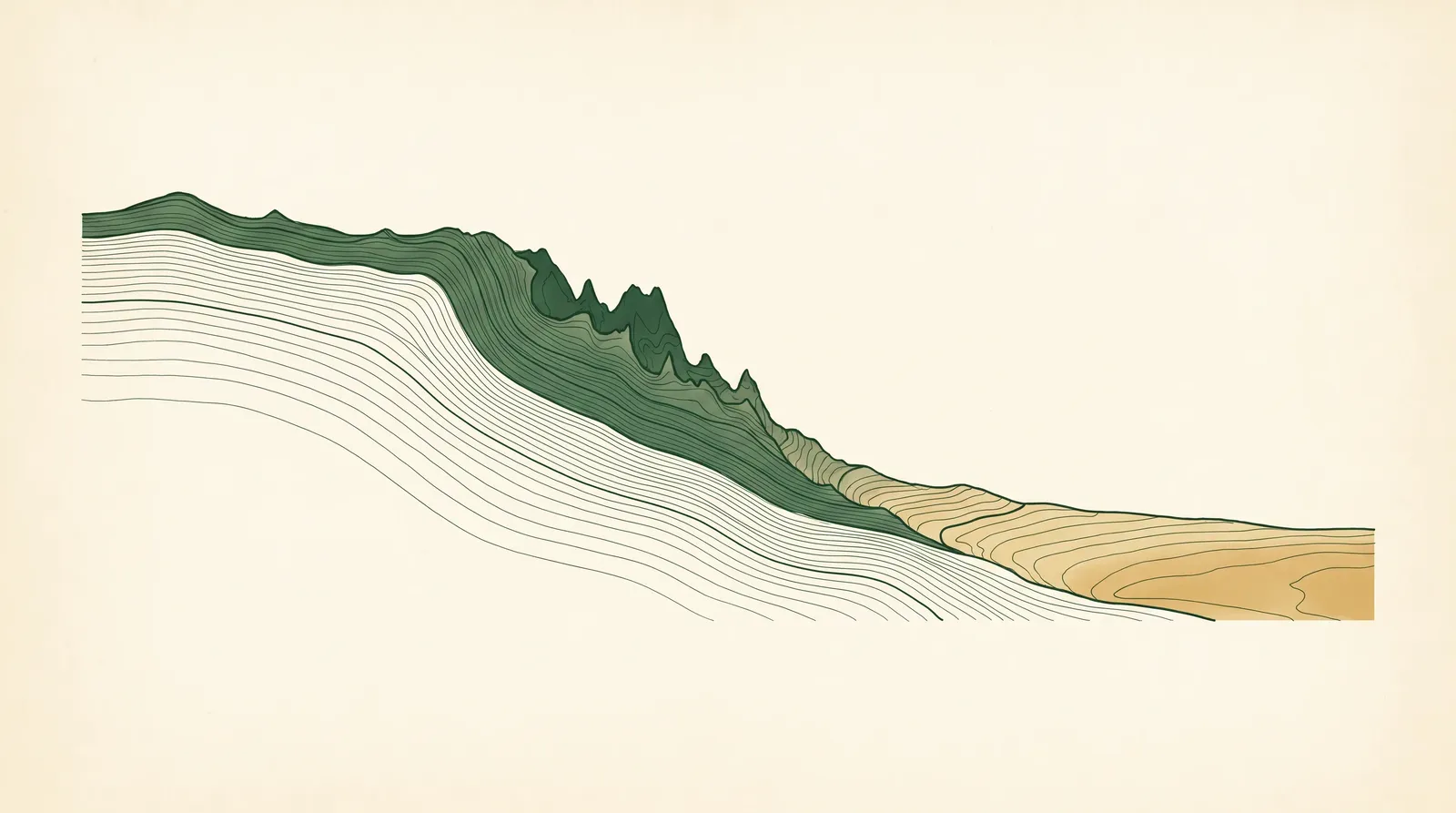
The eleven villages are strung like beads along a single ridge: one railway line, one main road, climbing from around 150 metres at Glenbrook, the eastern gateway, to over 1,000 metres at Blackheath, the highest town, and Mount Victoria, the westernmost village. That is roughly a 900 metre climb over about 50 kilometres. The climb is the whole story.
What changes as you go up?
Three things change as you climb, and all three matter on moving day.
The block changes. Down at the eastern gateway, Glenbrook, Blaxland and Springwood sit on more conventional suburban lots, and those lower villages actually carry the highest unit shares of the set, Springwood around 24 percent, Blaxland 14, with flats and townhouses clustered near the shops and stations. So a lower-mountains move is often about stairs, walk-ups and shared driveways. Climb into the mid-mountains, Faulconbridge, Hazelbrook and Lawson, and it shifts to bush blocks: large, treed lots with long or steep driveways, and homes set well back from the road. By Hazelbrook the street names stop being decorative and start being honest, Lower Valley Road and Cliff Avenue describe the land. A house that looks level from the street can drop a full storey out the back. Up top, in Leura, Katoomba, Blackheath and Mount Victoria, you reach the escarpment proper: Leura’s Cliff Drive and Katoomba’s Echo Point Road run the rim, and blocks fall away to the valley on narrow garden-estate lanes.
The weather changes. Temperature drops roughly 2 degrees for every 300 metres of elevation, so Katoomba, at around 1,010 to 1,029 metres, runs about 6 degrees cooler than Sydney. That is not trivia on moving day. Blackheath can sit near minus two at six in the morning in a cold snap. Snow falls a few times a year in the towns above 1,000 metres, Blackheath, Katoomba and Mount Victoria, and morning fog is common up top. In practice that means protecting floors from wet and muddy boots, watching footing on frosty driveways, and sometimes starting a little later once the frost has lifted.
The carry changes. This is the one that quietly decides the cost. On a Faulconbridge bush block, the carry from where a truck can safely sit to the actual front door can be forty or fifty metres, often on a slope and under tree cover. On a Leura valley-edge lane or a Wentworth Falls cliff-side street in the Falls Road precinct, the truck might park well up the road while the crew works a steep drive down to a door set below the kerb. None of that is about how far you are moving. It is about the metres between the truck and the door, and the grade in between.
Village by village, briefly
It helps to picture the spectrum, east to west:
- Glenbrook (around 150 to 185m). The gentle one. Conventional blocks, the easiest mountains move, but the climb begins here with the Lapstone and Knapsack zig-zag just east.
- Blaxland and Springwood (220 to 370m). The most town-like, higher unit shares, busier centres, more walk-ups and shared access.
- Faulconbridge, Hazelbrook, Lawson (430 to 720m). Bush blocks and the start of below-road driveways. The carry becomes the variable.
- Wentworth Falls, Leura (870 to 970m). Escarpment-edge access gets real, cliff-side streets, narrow lanes, valley-edge drops.
- Katoomba (above 1,000m). The full range in one town, dense central walk-ups and escarpment-rim houses both.
- Blackheath and Mount Victoria (above 1,000m). Coldest and highest. Frost, fog, the occasional snow, and right at the western pinch-point of the corridor.
So what does this mean for planning your move?
It means an experienced mountains crew prices the access and the grade, not the kilometres. Before quoting, the questions worth answering are: where can the truck actually sit, how far and how steep is the carry to the door, how narrow is the street, and, if you are moving up top in winter, what will the morning be doing. Get those right and a mountains move is no harder than a city one. Get them wrong, and a forty-kilometre move can blow out a day.
That is the real value of knowing the climb. Not the distance on the map, but the metres between the truck and your front door, and everything the ridge puts in between.
Elevation and climate figures here are drawn from our research dossier, geomcp GNAF address-centroid elevations cross-checked against Wikipedia and Britannica town figures, and Blue Mountains climate sources (bluemts.com.au, Blue Mountains Gazette, Blue Mountains Insider), checked June 2026.
Common questions
Is a move within the Blue Mountains really that different from a city move?
Yes. The villages sit on a single ridge that climbs around 900 metres over about 50 kilometres, so the blocks go from conventional lower-mountains lots to bush blocks and below-road driveways to cliff-edge escarpment streets. The access and the carry, not the distance, decide the day.
Why does altitude matter for moving day?
The upper villages run roughly 6 degrees cooler than Sydney, with fog, frost and occasional snow above 1,000 metres. That means floor protection, careful footing on frosty driveways, and sometimes a later start once the frost lifts.
Planning a move?
Get a free, no-obligation quote and we'll plan the access at both ends with you.
Get a quote